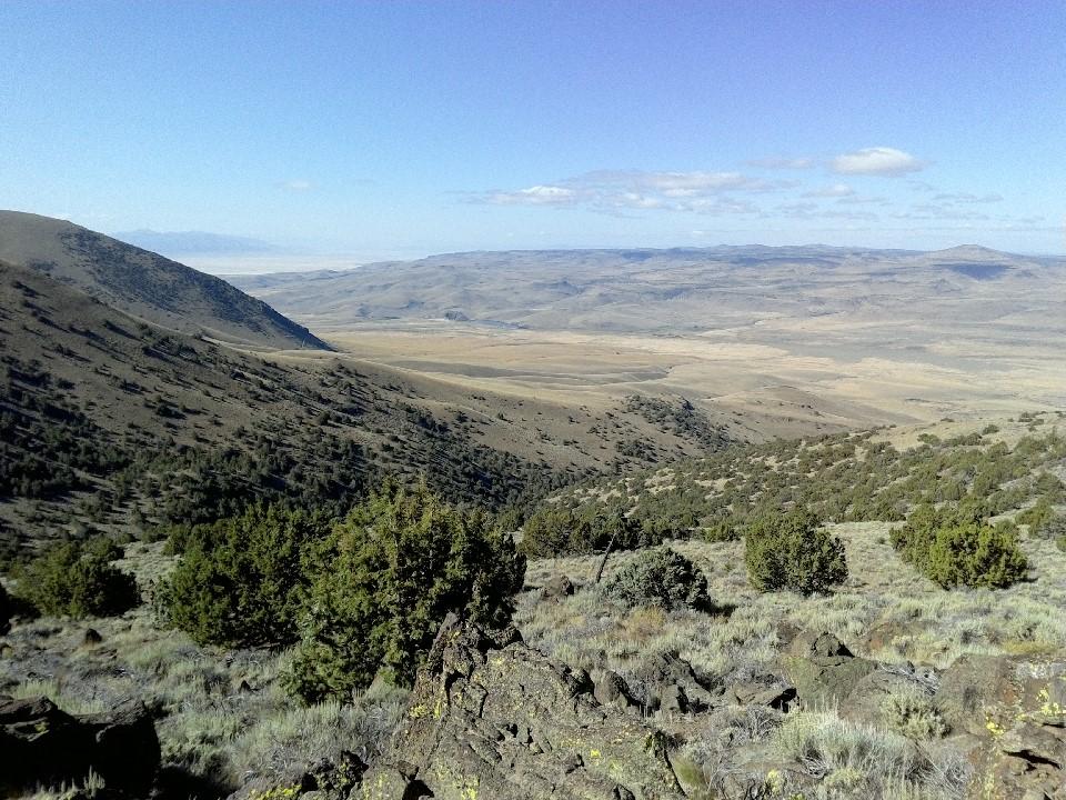
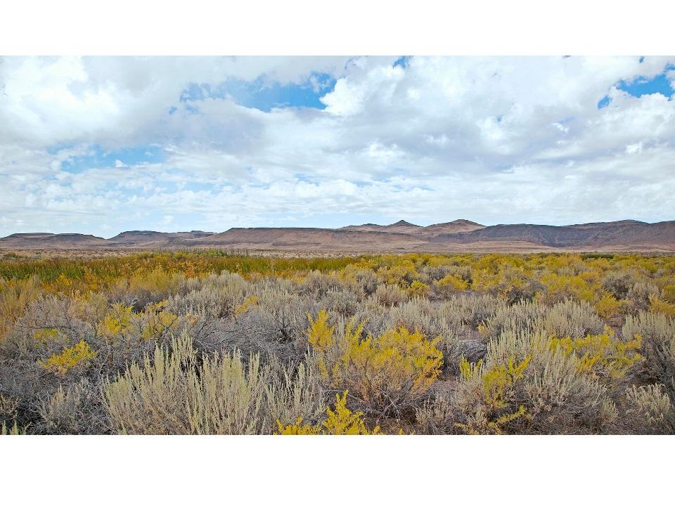
The Buffalo Hills are located in northwestern Washoe County just west of the Black Rock Desert. Here you can ascend rocky slopes dotted by juniper into large flat plains of sage-brush and occasional stands of mesquite where deer like to hide. Be warned, though some of the trails are flat and smooth sailing, many of the routes in and out of the Wilderness Study Area are comprised of long stretches of exposed rock. Other recreational opportunities exist here such as hunting, horseback riding, hiking and camping.
This system of trails provides access to a number of interesting scenic vistas. Several large dirt pullouts can be found on the South and North side of the creek. Twin Peaks (North) can be accessed via the trails leading West from Buffalo Creek. Much of the area is managed by the Bureau of Land Management, although there are individual parcels in and around the area ranging from 40 to 800 acres. There are extensive trail systems and campsites throughout the range. Trails branch from the creek to nearby trails both in the Black Rock Desert and the Squaw Creek Reservoir area.
Almost the entirety of the valley, and the surrounding mountains, are accessible for free public camping and other BLM permitted activities. All
routes in the valley are within 40 miles of Gerlach, which features a gas station, restaurants, and some shopping and other amenities.
There are multiple ranches and farms in the area, as well as permitted livestock grazing on public land. Please respect these land managers by staying on designated trails and roads, and leaving any gates as you found them.
These trails surround designated wilderness, only hikers and equestrians are allowed within the wilderness boundary. Motorized and mechanized use is only permitted on surrounding non-wilderness trails. Please be respectful of the wilderness boundary and only travel on designated roads and trails for your activity type. Horses are allowed in the wilderness area and only certified weed free hay can be brought in.
Primitive camping can be found at Squaw Creek Reservoir free of charge, be sure to follow the rules as it is on private land and access can be revoked at the discretion of the owner. Dispersed camping is available throughout the area be sure to check BLM regulations before heading out.
For more information visit the BLM website or contact:
Bureau of Land Management - Eagle Lake Field OfficeFrom Reno to Squaw Creek Reservoir staging area/campground:
Success! A new password has been emailed to you.
