NEW FEATURE ALERTNow introducing Trailside Services! Add to your adventure by visiting some of Nevada's best local businesses.
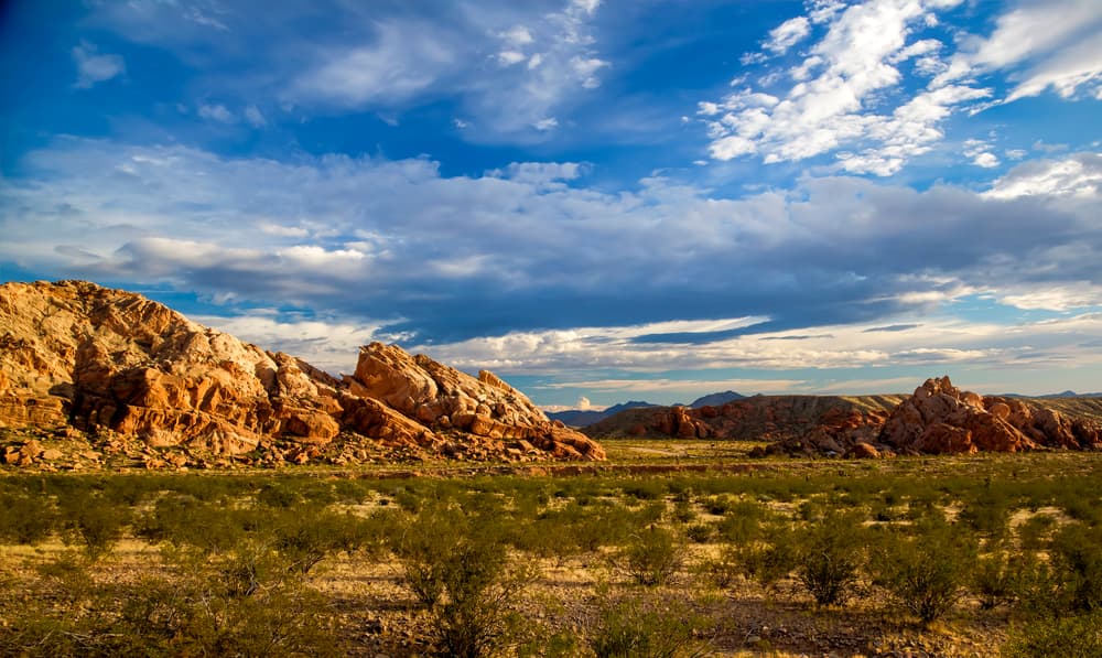
The Gold Butte National Monument provides recreators with a tour of the most popular attractions in Gold Butte National Monument. If you find any of the historical sites or geographic locale interesting, you can explore the area further using our more extensive Gold Butte National Monument systemwide map. The primary access point to Gold Butte National Monument is from a dirt lot/parking area at the north side of the Monument.
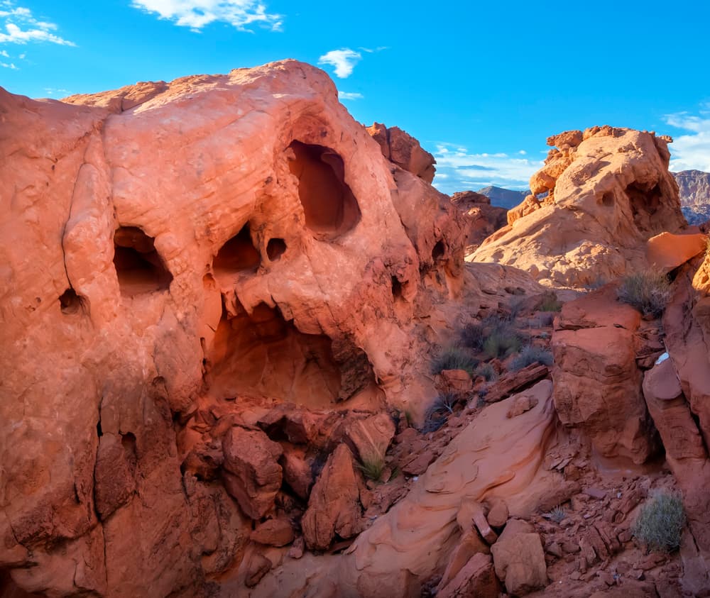
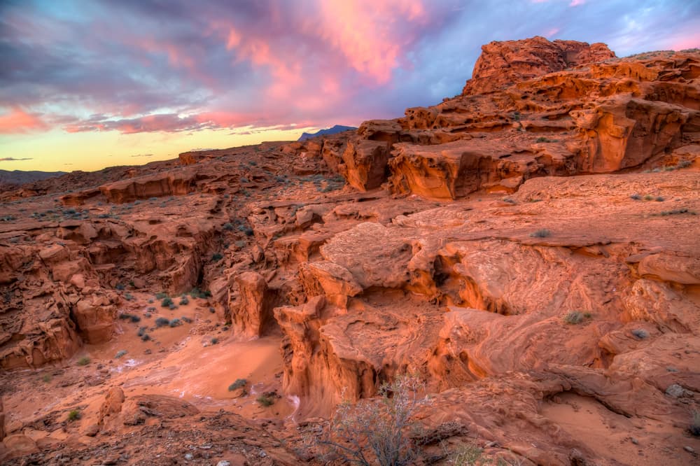
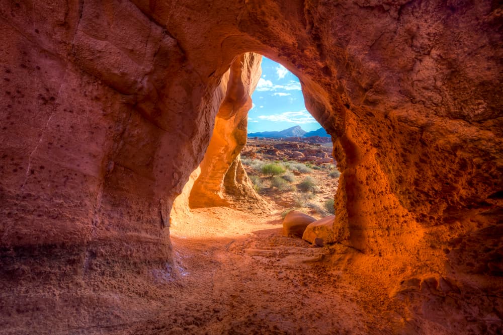
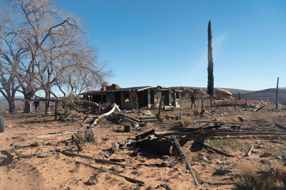
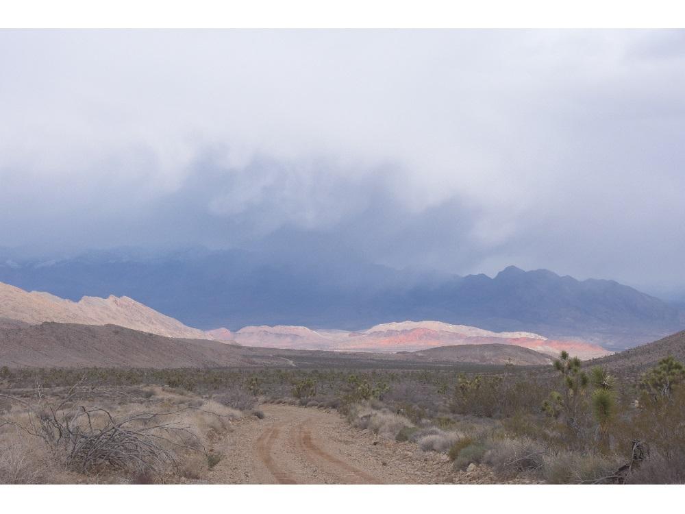
There are very few dedicated non-motorized trails in the monument, and there are no paved routes within the monument south of the Whitney Pockets historical site. An off-road vehicle is highly recommended to fully explore the National Monument. Please be aware that cellphone service is extremely spotty and unreliable. The surfaced roads, such as Gold Butte Road, provide relatively easy access to a number of rock formations, abandoned ranches, and scenic vistas. More ambitious visitors may wish to explore the numerous two-track roads and sandy washes. Road maintenance is infrequent, and often limited to the surfaced or graded portions of the byway. The total length of the loop shown here, to and from Bunkerville, is 83 miles.
There are a number of free designated campsites. There are also popular, but undesignated campsites scattered around the National Monument. There is no permanent restroom facility or potable water access within the area, so be sure to bring adequate water and sundries to deal with the desert environment. If you find you need to purchase supplies, the town of Mesquite has a greater variety of services than Bunkerville, and St. Josephs, in Utah, has even more.
Off-highway vehicles are allowed on the existing roads and wash routes. The primary access point to Gold Butte National Monument is from a dirt lot/parking area at the north side of the Monument.
Learn more about suggested routes within this trail network:
See something? Say something! Visit Nevadans for Cultural Preservation to report damage to historical artifacts.
The Bureau of Land Management manages the entirety of the monument. For more information, please see their Gold Butte website.
For additional information about volunteer opportunities and special events at Gold Butte, please see the website for the Friends of Gold Butte.
If you are interested in having a campfire, be sure to check if there are any fire bans in effect.
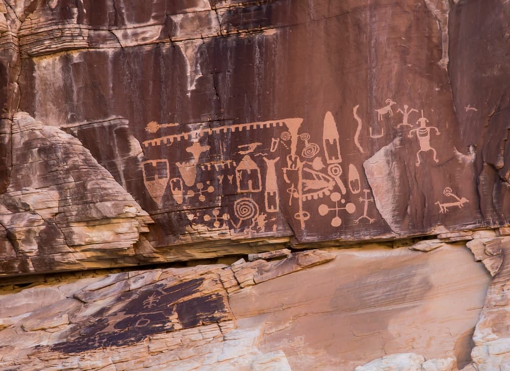
Do not touch or take any artifacts from any archeological sites you may come across. Please report damage to archeological sites here!
Given that portions of Gold Butte National monument are near designated wilderness, only hikers and equestrians are allowed within the wilderness boundary. Motorized and mechanized use is only permitted on surrounding non-wilderness trails. Please be respectful of the wilderness boundary and only travel on designated roads and trails for your activity type. Horses are allowed and only certified weed free hay can be brought in.
Only street legal vehicles allowed within National Park boundaries.
For additional information contact the BLM Las Vegas Field office or visit their website:
![]()
Download map files for your own use.
The primary access point to Gold Butte National Monument is from a dirt lot/parking area at the north side of the Monument. Off-highway vehicles are allowed on the existing roads and wash routes.
First 20 miles of the back country byway are partially paved.
This trail passes by an important historical or cultural area. Please respect the area and future visitors by looking rather than touching.
Success! A new password has been emailed to you.