NEW FEATURE ALERT!Challenge Badges are now available! Discover new ways to explore Nevada this summer by working your way through these awesome challenges!

Lower Spring Mountain OHV Trails

Trail Uses
Utv/jeep driving Atv riding Dirt biking Hiking Mountain biking E-biking Horseback riding Rock climbing
Location
Clark County
Length
127.00 miles (Network)
Towns
Blue Diamond, Las Vegas, Pahrump
Surface
Dirt
Pets
Permitted
Fees
No
Wilderness Areas
Rainbow Mountain Wilderness Area
There are no photos saved for this trail yet.
An amazing trail system with views spanning into California and Arizona!
There are no photos saved for this trail yet.

Description

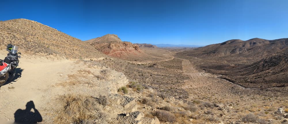
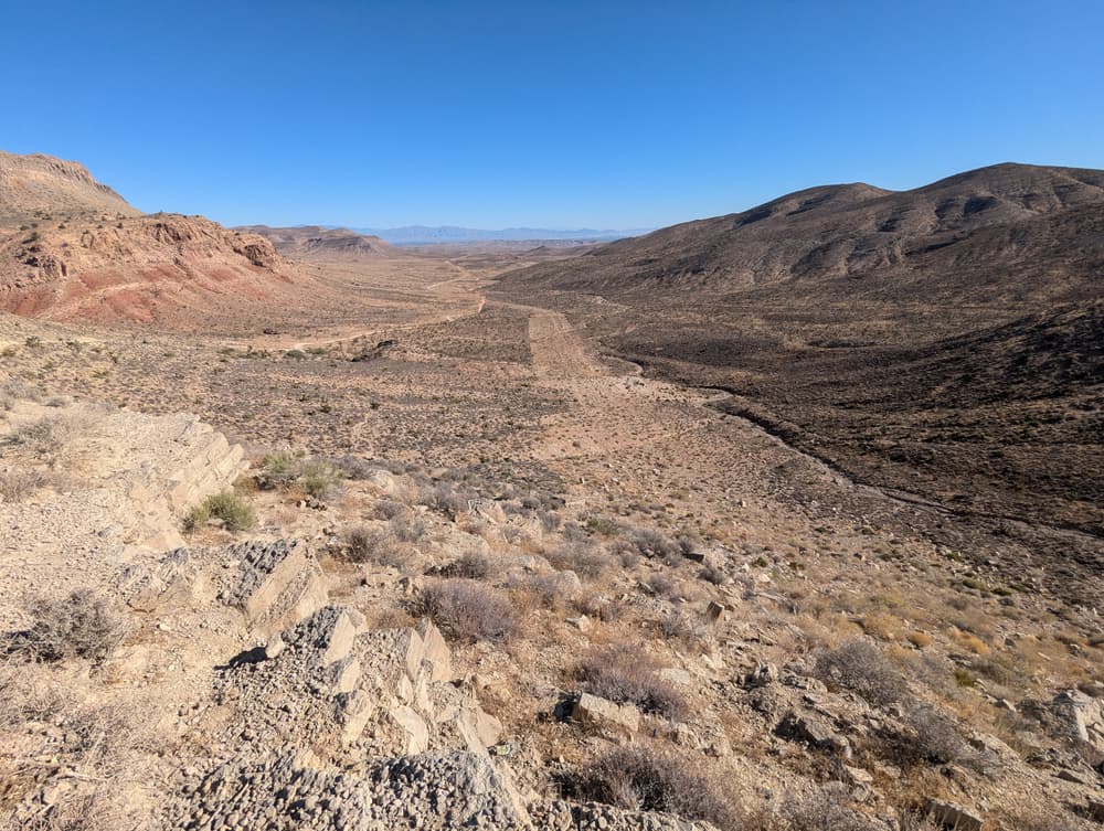
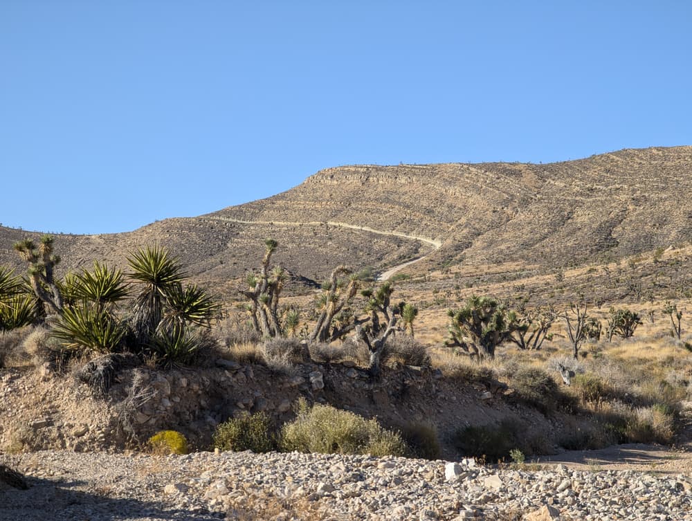
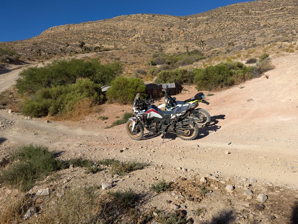
 Navigating these trails are fairly straight forward as they are forest service, or maintenence roads. The main attraction in this trail system is the trek up to Mount Potosi! This 14 miles, out-and-back, trail is not for the faint of heart. Plenty of steep ascents and descents make this trail very challenging and dangerous if not properly equipped. A 4WD vehicle is required to make a successful ascent, and make sure your breaks are nice and tight before heading out. Some areas are so steep, you'll be gaining one foot of elevation gain per stride, making the total elevation gain up to 4,000 ft. The summit of Mount Potosi is marked by a radio tower where there is enough room to park and turn around. Once you make it to Potosi summit, you'll be able to see all the way to Lake Mead, into California and north into Red Rock Canyon National Recreation Area.

Other Information

Plenty of other non-motorized recreation is located nearby! Be sure to stop by the Spring Mountain Ranch State Park, Red Rock Canyon National Conservation Area, or the Spring Mountains National Conservation Area!

Lodging and other services are located nearby in Blue Diamond, Pahrump and Las Vegas. 

Trail Manager

For more information visit the US Forest Service or BLM website or contact: 

Bureau of Land Management Southern Nevada District Office

Bureau of Land Management Southern Nevada District Office
4701 North Torrey Pines Drive

Las Vegas , Nevada 89130
Phone: 702-515-5000
blm_nv_sndo_web_mail@blm.gov
View website

US Forest Service Spring Mountains NRA

US Forest Service Spring Mountains NRA
4701 N. Torrey Pines Dr.
Las Vegas, Nevada 89130
Phone: 702-872-5486
View website

Download

Download map files for your own use.

Working with Downloaded Files

Recreate Responsibly

Plan Ahead and Prepare
Avoid hypothermia, even in warm weather, by limiting your sweat and exposure to cold water. Bring warm and dry clothes in case the shivers set in.
Legend
|
Hide All

Trailhead Information

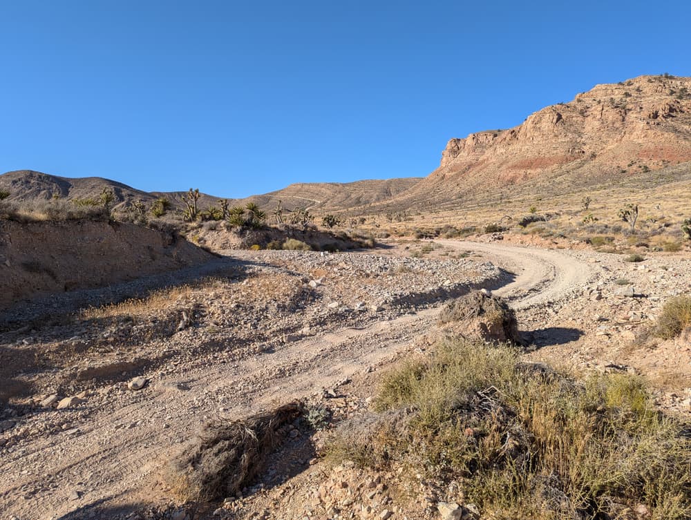
The trails can be access from several dirt roads around the area. The main staging area is on the south end of the trail system and marked by a large orange rock. There will be a gate along the route, but a side path has been carved out. 

Portions of some of these roads are paved. 

Click on a parking icon to get custom directions
Please Log In or Create Account to add comments.
SHARE THIS TRAIL
PRINT THIS TRAIL

Add Trail Log

Please wait…
Facebook Instagram Twitter YouTube
Join In on the Fun!
Log in or create an account below to unlock all the great features of Nevada Trail Finder: keep track of trails you want to do, preserve memories of trails you’ve done, earn badges, and more!
Your log in attempt was not successful. Please try again.
    Lost your password? Reset your password
    Don't yet have an account?
    There was an issue with your submission. Please try again.
      * Indicates required field
      Already have an account? Login here
      Enter your username, and we will send you a new, randomly generated password to your email account.
      There was an issue with your submission. Please try again.

        Success! A new password has been emailed to you.

        Log in now

        Please wait…