This very remote mountain range is located in northern Nevada, just south of Denio and the Oregon border. This mountain range is mostly sage brush and grasses but does have one of the highest populations of sage grouse in the U.S. Other species you'll see are Sage Thrasher, Gray Flycatcher, Lesser Yellowlegs, Greater White-fronted Goose, and the Swainson’s Hawk.
Plenty of OHV and back country roads wind through the range and take you to several of the peaks, with the most prominant being Engler Peak . Hiking, mountain biking and horseback riding are also common activities.
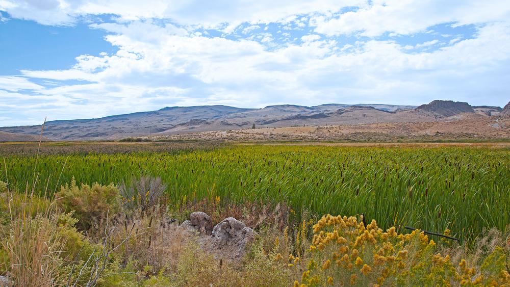
The Bilk Creek Reservoir is a popular place for fishing. Although it is on private property, NDOW does manage it and fishing and primitive camping is allowed.
While you're in the area, be sure to put your mining cap on and head over to Royal Peacock Opal mine and mine for opals!
The Bureau of Land Management has not completed Travel and Transportation planning for this area. The undesignated roads and trails shown on this map are informational only and are subject to change. This map implies no right of access across any private lands displayed on this map. Please follow Responsible Recreation guidelines and stay on existing roads and trails.
These roads are not maintained. Conditions will vary and roads may be washed out after severe weather events. A high clearance, 4WD OHV is recommended.
The closest place for lodging and other services are located in Denio and Winnemucca.
There are a few gates located throughout the trail system. Always leave them how you found them.
Get the latest fishing report from Fish NV!
For more information visit the BLM website or contact:
Bureau of Land Management - Winnemucca District OfficeMost of the trails can be accessed off of Denio Hwy 140.
Success! A new password has been emailed to you.
