This trail is a mix of shared road and designated bike path travel. It weaves in and out of multi-use paths and beautiful parks throughout downtown Reno. You will follow the Truckee River along the entirety of this trail segment and even pass by some amazing rapid parks. The trail takes an abrupt end at the Union Pacific Railroad in Sparks. A segment will soon be developed to connect Sparks to Mustang so users can continue their journey without issue.
The road is relatively level with little to no elevation gain or loss. There are several other urban bike trails that can be accessed from the main Tahoe Pyramid Bike path in Reno.
This segment is very popular with trail runners and walkers, so be sure to ride through crowded areas with caution. Given this segment is mostly urban, homeless encampments are present along the route.
Segment maps:
Recommended bikes include; road bikes, hybrid bikes and touring bikes. Keep in mind there is no gravel or dirt section along the trail. ADA use is recommended for the park areas and downtown Reno section of this trail.
Check the Tahoe-Pyramid Trail website for updates and more information on how to bypass the current trail alert.
For downstream and upstream trail guides click the links to access the Ride with GPS routes!
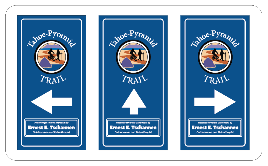
Official signage has been designed to help users navigate the trails. The signage below is an example of what to look out for:

For more information visit the Tahoe Pyramid Trail website:
Tahoe-Pyramid TrailThe segment of trail can be accessed from multiple locations. The easiest way to access the trail is through one of the many parks this trail segment passes through. To complete this trail start to finish, you can access a trail head at Crystal Peak Park in Verdi and take it to Larkin Circle near Vista Blvd. in Sparks.
Success! A new password has been emailed to you.