FIRE IN EFFECTThe Davis Fire is currently in effect and has caused closure to several recreation areas and roads in Northern Nevada. Please visit Watch Duty for the most up to date information. 

Tahoe Pyramid Bike Trail: Hirschdale to Verdi

A fun and exciting ride passing through several small California towns before reaching Nevada
Trail Uses
Walking Hiking Mountain biking Bicycling E-biking
Location
Nevada County (CA), Washoe County
Length
15.60 miles (One Way)
Difficulty
Easy
Town
Verdi
Surface
Dirt, Paved
Pets
Permitted on Leash
Fees
No

Description

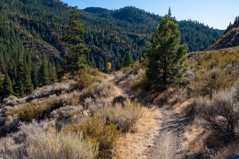
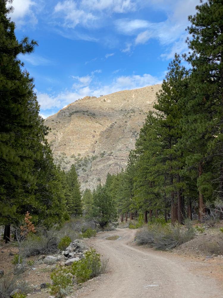
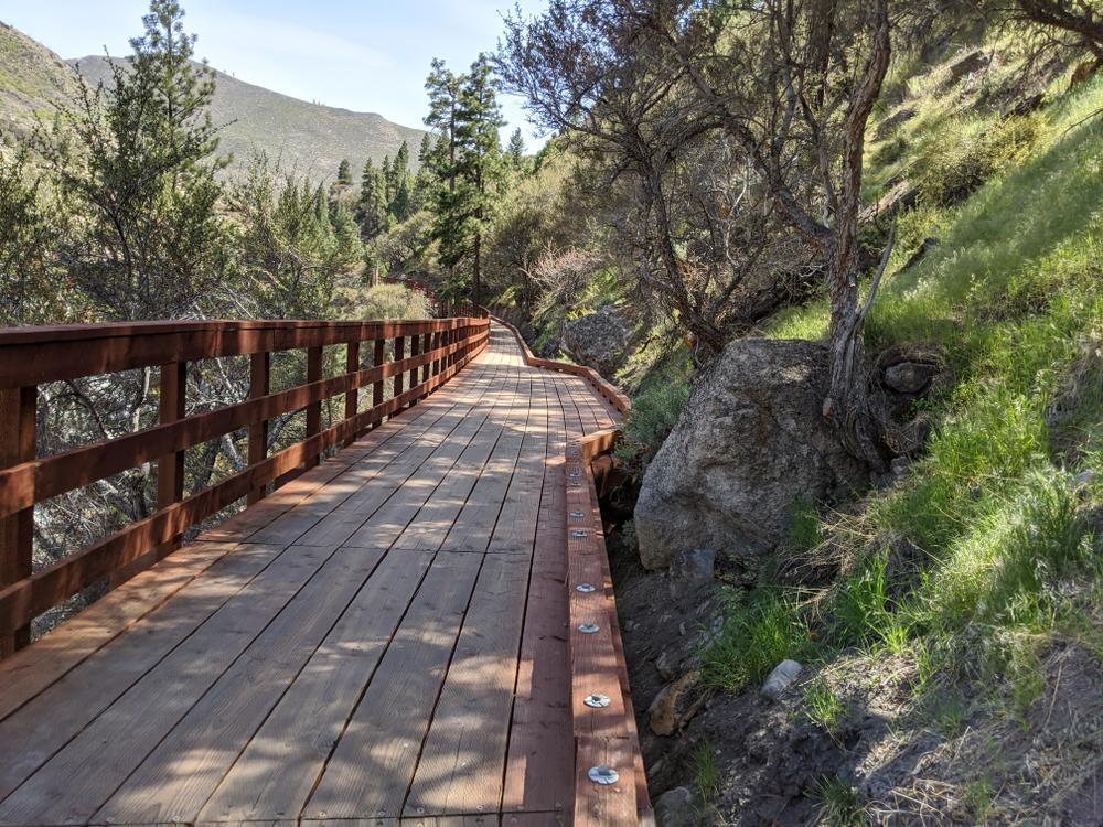
This trail segment has a mix of dirt trail, shared road, paved bike paths and bike lanes for traveling. The trail follows along I-80 and passes through the small towns of Hinton, Floriston, Fleish and Verdi. This trail ranges from easy to moderately difficult due to several switchbacks, dirt trails and some steep climbs.

As you get closer to Verdi one fun side trail that can be taken is the Steamboat Ditch Trail. 

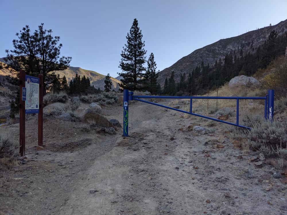
Some challenges along this trail will include several gate passings, stairs and washed out trail along the dirt section. 

Segment maps: 

Other Information

There is a very loud active siren alarm on Hirschdale rd. This alarm is to deter motorists. It is safe for pedestrians to pass. 

Parking in Hirschdale is limited to street parking on the west side of Hwy 40. This road is very narrow and it is recommended to park in the general area of the Hwy 80 Exit. 

For downstream and upstream trail guides click the links to access the Ride with GPS routes!

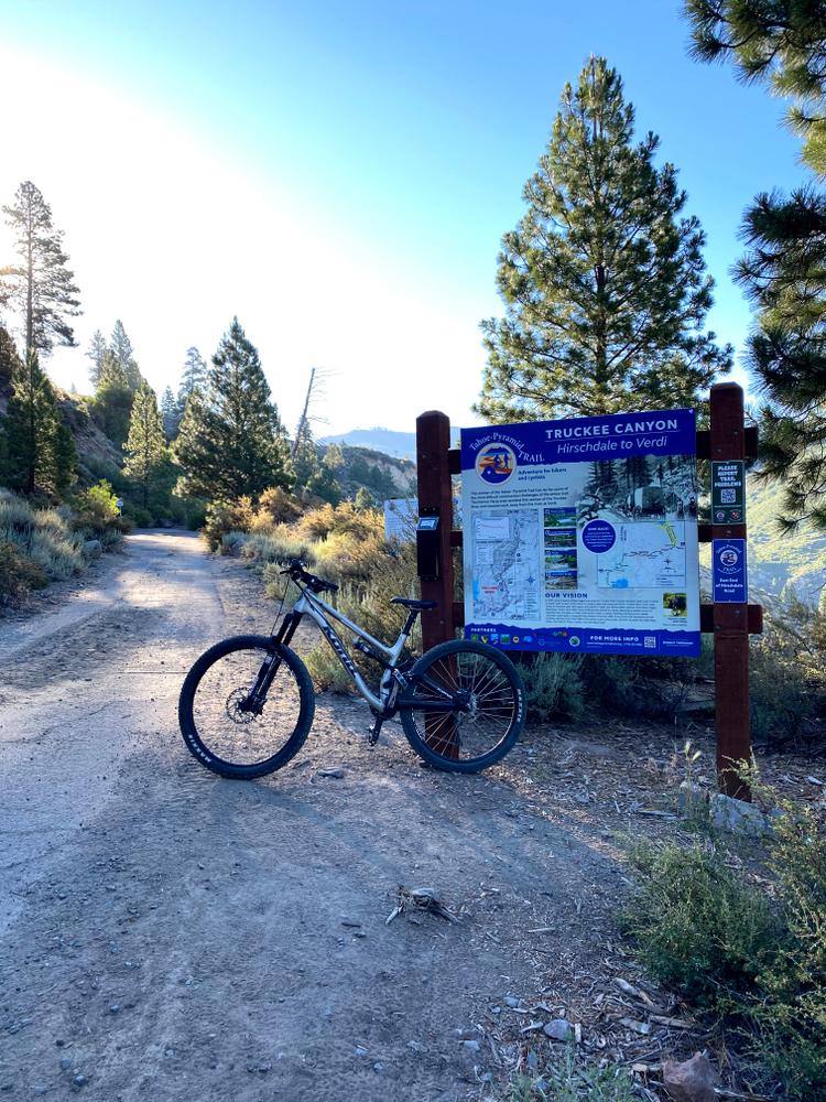
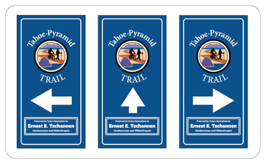
Official signage has been designed to help users navigate the trails. The signage below is an example of what to look out for:

Trail Manager

For more information visit the Tahoe Pyramid Trail website:

Tahoe-Pyramid Trail

Tahoe-Pyramid Trail
4790 Caughlin Parkway, #138

Reno, Nevada 89519
Phone: 775-825-9868
info@tahoepyramidtrail.org
View website

Download

Download map files for your own use.

Working with Downloaded Files

Recreate Responsibly

Plan Ahead and Prepare
Avoid hypothermia, even in warm weather, by limiting your sweat and exposure to cold water. Bring warm and dry clothes in case the shivers set in.
Legend
|
Hide All

Trailhead Information

Trail head access is on Glenshire Drive where there is a parking lost for easy access. Another easy trail access point is at the Crystal Peak Park. 

Click on a parking icon to get custom directions
Please Log In or Create Account to add comments.

Trail Alerts

Safety
Be BearWise
March 1 – November 11

Bear activity is high in this area. Keep (people) (pets) (property) safe. Keep bears wild. For more information on the BearWise campaign, visit the Recreate Responsibly page, or click on this link to learn how to be BearWise in the outdoors. 

SHARE THIS TRAIL
PRINT THIS TRAIL

Add Trail Log

Please wait…
Facebook Instagram Twitter YouTube
Join In on the Fun!
Log in or create an account below to unlock all the great features of Nevada Trail Finder: keep track of trails you want to do, preserve memories of trails you’ve done, earn badges, and more!
Your log in attempt was not successful. Please try again.
    Lost your password? Reset your password
    Don't yet have an account?
    There was an issue with your submission. Please try again.
      * Indicates required field
      Already have an account? Login here
      Enter your username, and we will send you a new, randomly generated password to your email account.
      There was an issue with your submission. Please try again.

        Success! A new password has been emailed to you.

        Log in now

        Please wait…