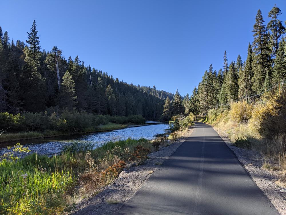
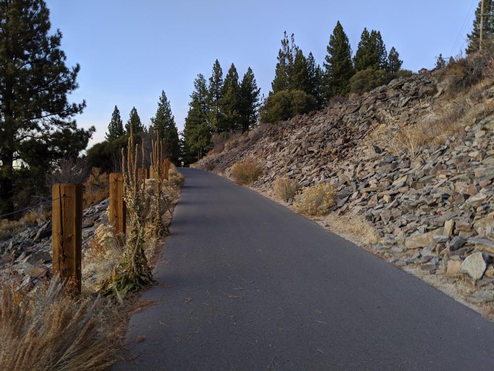
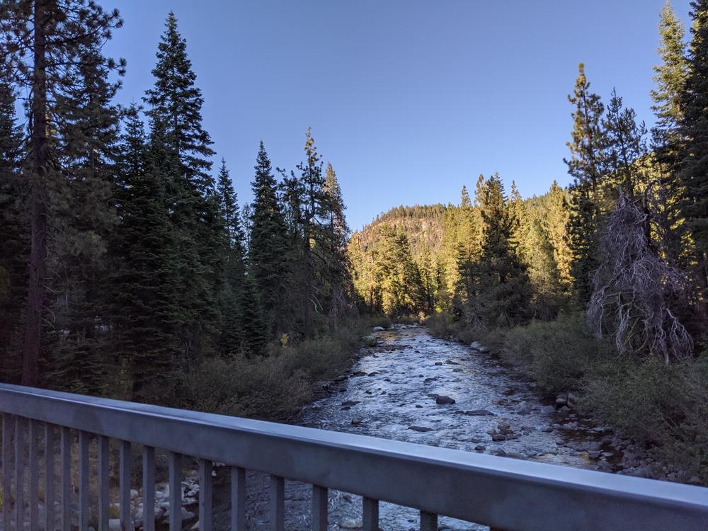
This segment of trail is made up of shared road, designated bike lakes, paved bike paths and regional trails. Some wonderful trails you will take are the Truckee Legacy Trail and Truckee River Bike Trail. Several campsites are located along this route as well as tons of beautiful mountain trails such as the Western States Trail, Squaw Valley Bike Trail and the El Burro Trail. There is little to no elevation gain or loss and the trail is 100% paved making this an easy trail for all recreationalists.
From Tahoe City the trail follows along Highway 89 until you turn onto Glenshire Dr. where the next trail segment begins.
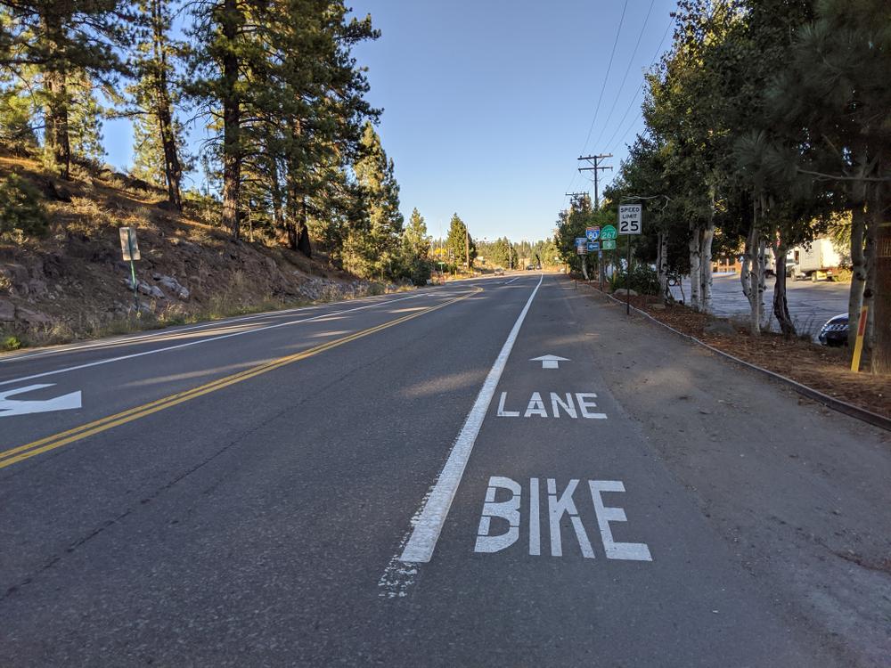
Keep in mind this area can be busy during summer months due to tourism. Only travel the shared road portions if you are experienced.
Segment Maps:
A large network of unpaved bike trails weave their way through the town of Truckee so be sure to stop by and check them out!
Recommended bikes include; road bikes, hybrid bikes and touring bikes. The entire trail is paved. ADA use is recommended for the urban areas only such as in Tahoe City and in the City of Truckee.
For downstream and upstream trail guides click the links to access the Ride with GPS routes!
Click here for the Tahoe-Pyramid official website page for this segment.
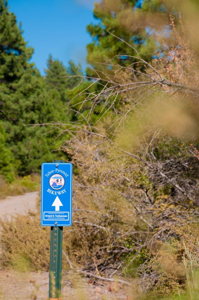
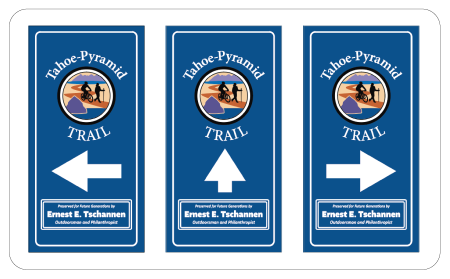
Official signage has been designed to help users navigate the trails. The signage below is an example of what to look out for:
For more information visit the Tahoe-Pyramid Trail website:
![]()
Download map files for your own use.
The trail begins in Tahoe City near the Tahoe City Transit System and ends at Glenshire Dr. in Hirschdale. There are several parking areas and access points along this segment.
Bear activity is high in this area. Keep (people) (pets) (property) safe. Keep bears wild. For more information on the BearWise campaign, visit the Recreate Responsibly page, or click on this link to learn how to be BearWise in the outdoors.
Success! A new password has been emailed to you.