NEW FEATURE ALERTNow introducing Trailside Services! Add to your adventure by visiting some of Nevada's best local businesses.
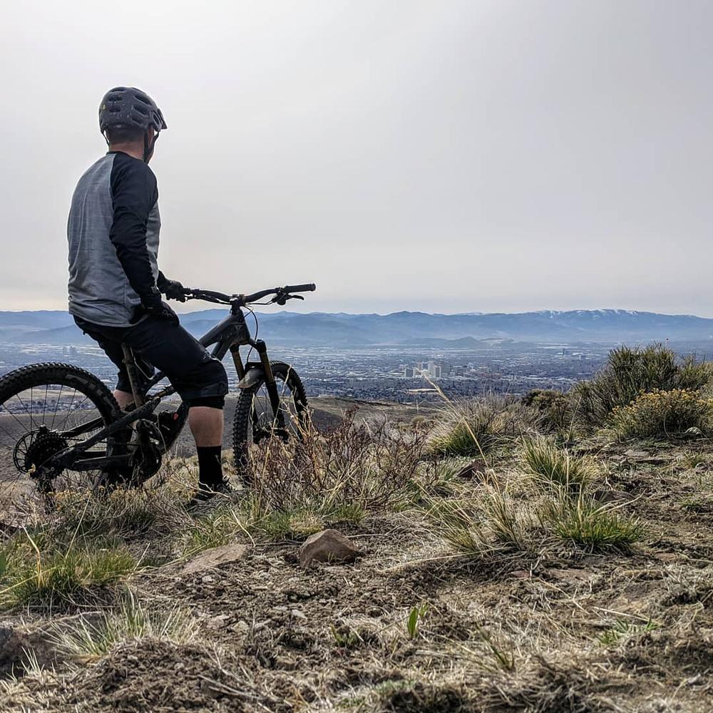
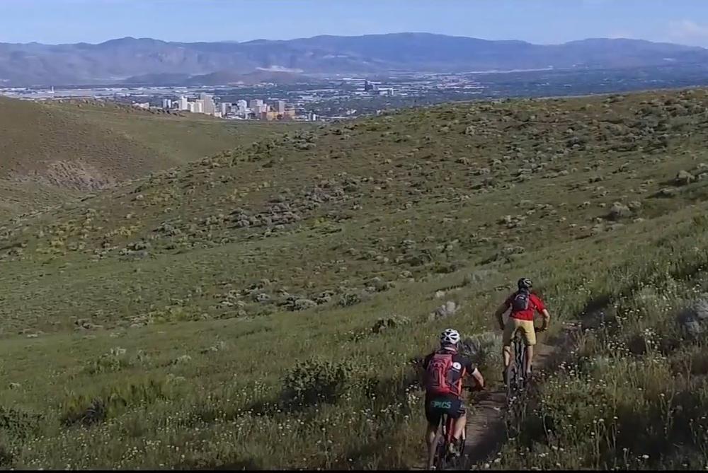
The trail system is a mix of easy, intermediate and difficult trails. Both mountain bikers and hikers use these trails. The back side of the mountain is also designated for motorized use.
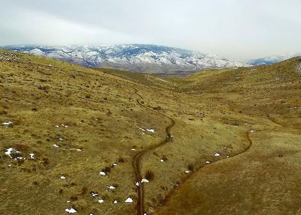
The trail system is open year-round but may be covered in snow during the winter months. There is little to no shade on this mountain so be prepared when traversing the trails in the heat of the summer months. It is recommended to go in the spring or fall months.
The Rancho San Rafael Park area is ADA accessible and has a beautiful dog park.
These are multi-use trail systems. Please recreate responsibly and be courteous of other trail users while using OHVs.
More information can be found at the following websites:
For additional information or questions, visit the USFS Carson Ranger District website, or contact:
Download map files for your own use.
To access the major trailhead (East Keystone trailhead), head southbound on US-395 into Reno. Take the North Virginia Street exit and continue past the university until you get to North McCarren Boulevard. Head west (left) to Keystone Avenue. Parking is available by the trailhead at the end of Keystone Avenue
The trail system can also be accessed via trailheads at Las Brisas, Kings Row, West Keystone, Evans Canyon, Hodge Road, Raleigh Heights, and the Rancho San Rafael Park. Most of these trails are non-motorized in the urban interface, but there is an extensive motorized, OHV trail system overlapping some of the trails in the western areas. Be aware of other trail users.
Bear activity is high in this area. Keep (people) (pets) (property) safe. Keep bears wild. For more information on the BearWise campaign, visit the Recreate Responsibly page, or click on this link to learn how to be BearWise in the outdoors.
Success! A new password has been emailed to you.